
Everything a hike needs
Offline trail maps, route planner, navigation and a hike log — built for Hungary's marked trails.
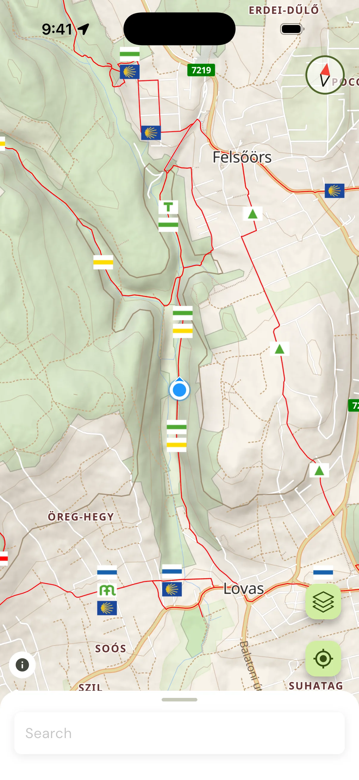
Fully offline maps
Detailed hiking and terrain maps of Hungary on your phone. Once downloaded, everything works without a signal.
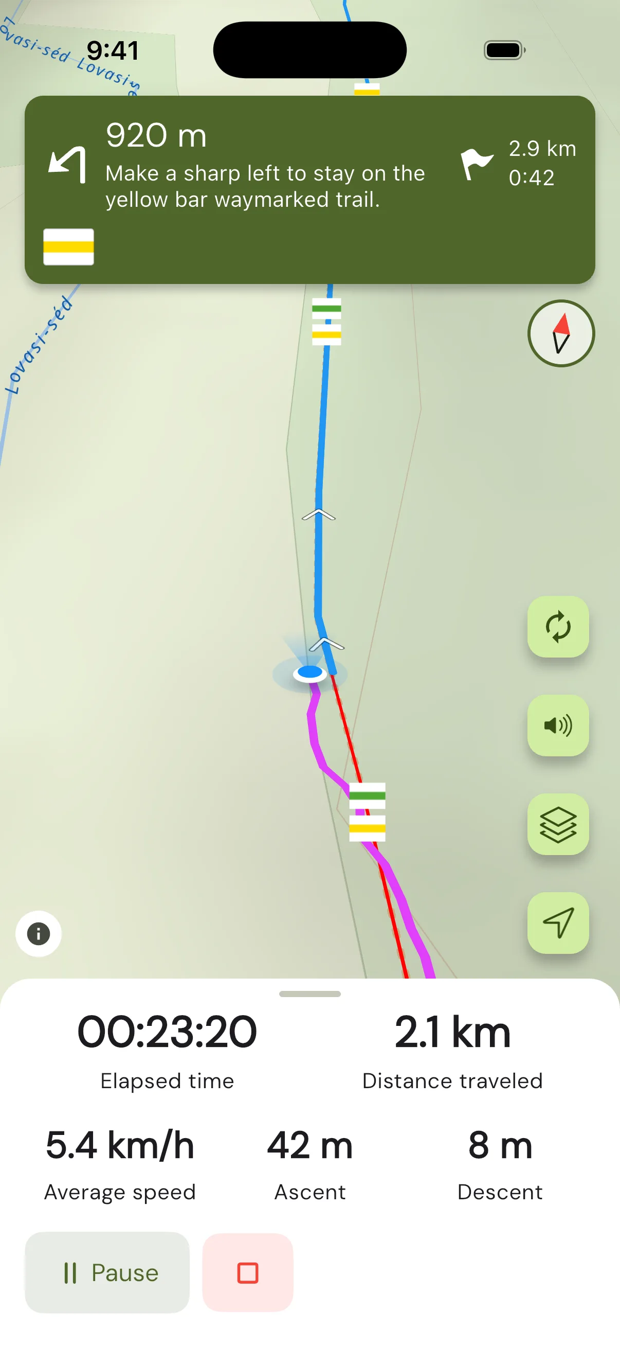
Waymark-aware navigation
It guides you from the background so you can watch the forest instead of your phone — and reroutes on its own if you leave the trail.
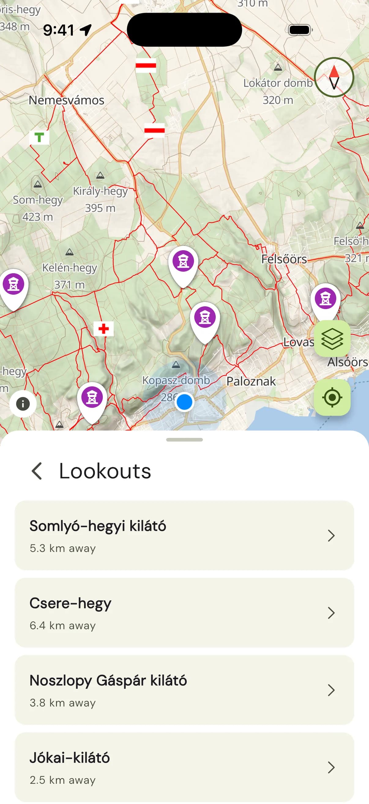
Search and discover
Browse what is nearby, or search any peak, cave, spring or clearing by name.
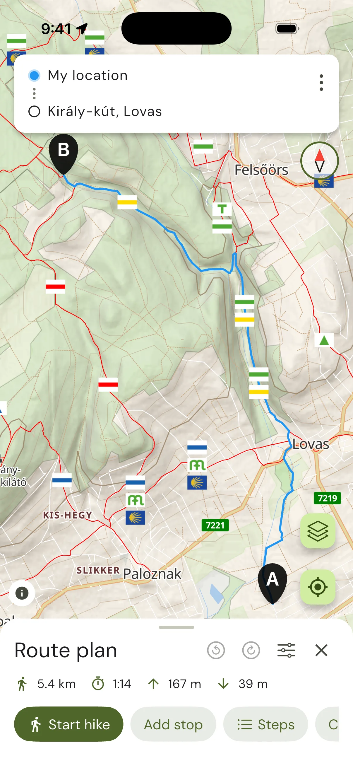
Route planner
Build the hike you want and see its distance, expected time and elevation gain before you set off.
Tracking and summary
After the hike, a full summary: the route you walked, the elevation you gained and your average speed.
Sharing and GPX export
Post your hikes to social media, or export them as GPX.
GPX import
Found a good route online? Import the track and show it on your map.
No account needed
The app works with no sign-up at all, and your precise location is never shared.
Encrypted backup
Your hikes are backed up with end-to-end encryption — only you can see them.